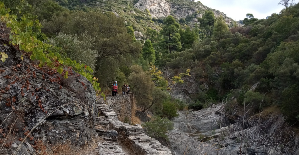
All the routes are of moderate difficulty, in paths, a few kilometers of dirt roads, with a greater altitude difference of 400 m. Pine forests in combination with shrubby vegetation of arbutus, slippery, oak, spruce, heather, sousoura, kournas λ.π. they fill the senses with colors and aromas. Streams with small waterfalls, relief stone masses - real sculptures of nature - remnants of Mount Athos heritage (Metochia and Watermills) equal in beauty with the panoramic view to Toroneos and Siggitiko Gulf.
The paths below refer to maps that are under publication. Everything is passable and marked in the best possible way.
M1:Tripotamos - Foundation - Openings - Tripotamos (8.41 km)
M2: Openings - Skiathas - Balemonas - Parthenon (10.05 km)
M3: Tripotamos - Lycaboliana - Agios Athanasios - Parthenon (6.07 km)
M4: Paradise- Demenitia- Kapsala- Parthenon (5.52 km)
M5: Metochi M. Grigoriou- Mana Nero- Parthenon (5.96 km)
M6: Masoutis- Yona- Kamini- Parthenon (6.82 km)
M7: Giona- Mill (0.7 km)
M8: Masoutis - Yona - Tourles (5.93 km)
M9: Parthenon - Costas (4.20 km)
M10: Masoutis - Mill - Tourles (4.11 km)
M11: Masoutis - Mill - Bakola (4 km)
M12: Masoutis- Petrara-Itamos (11.37 km)
M13: Masoutis-Bakola- Paliometochoudi - Tourles (7.14 km)
M14: Fidoklisia- Paliomylos- Tsouga (5.68 km.
M15: Petrara - Costas (5.85 km)
Source: https://www.sithonia-trails.gr/